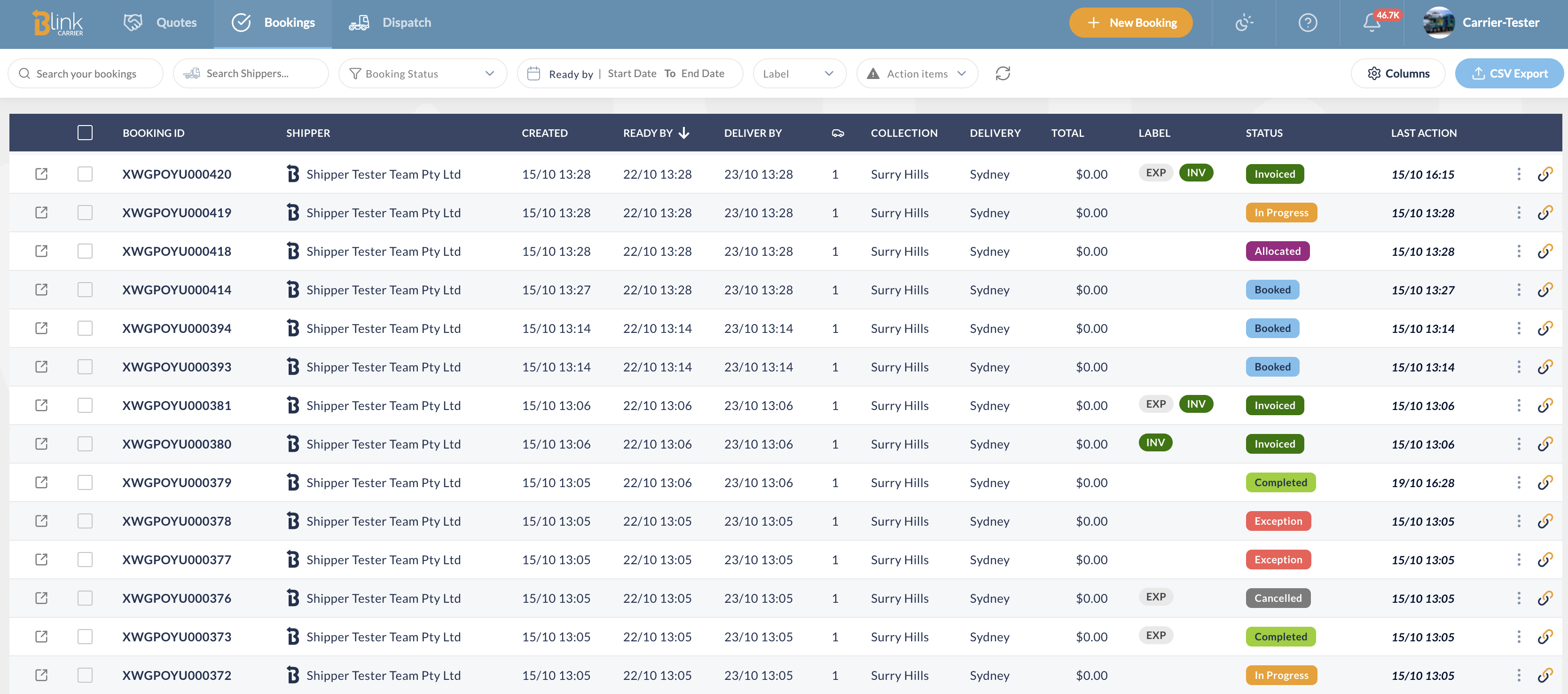
Your zones and rates on a map
The new Rating System tab under Data draws your zones over real postcode boundaries, checks them for overlaps, and shows the rate between any two zones. It reads what you already have in Zones, Areas and Rates. Nothing to import.

In short
- See exactly where each zone starts and ends, suburb by suburb.
- A postcode sitting in two zones is flagged, with a link to each zone.
- Click two zones for the rate between them, GST included. Add or edit rates right there.
Where is it?
Data › Rating System, the tab after Zones, Areas and Rates. You need at least one zone with postcodes for the map to draw; if you have none yet, the page points you to Zones.

What does the map show?
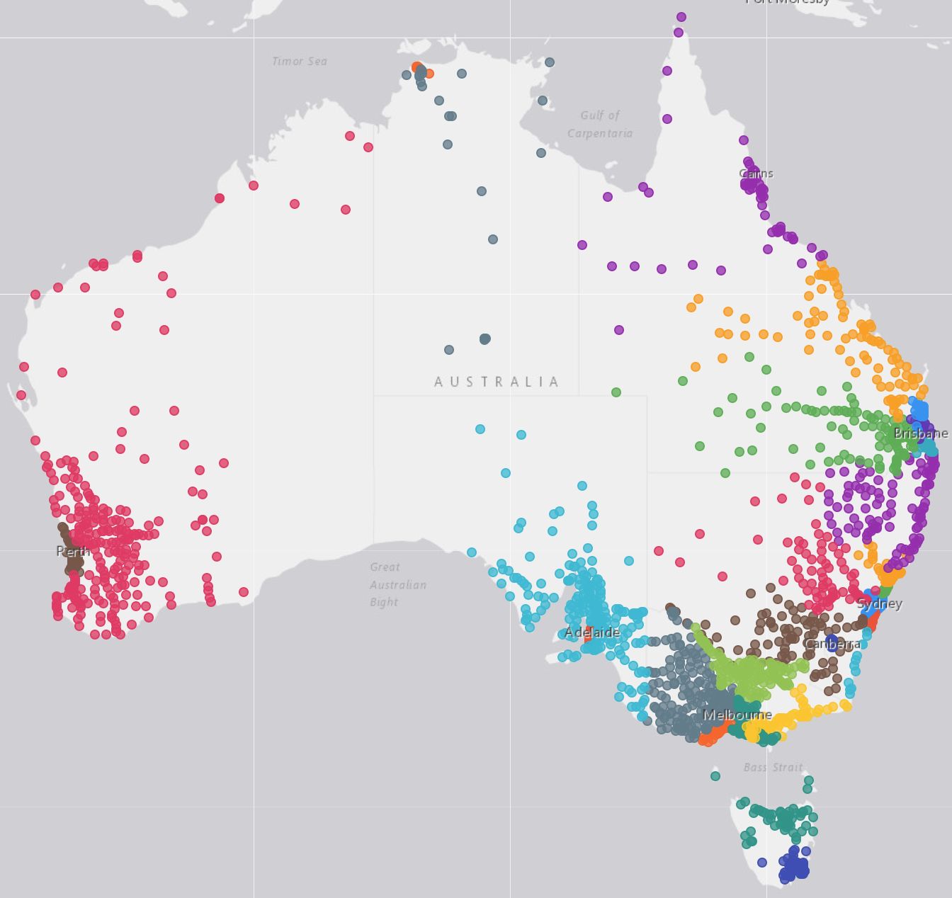
Every postcode in your zones, coloured by zone, over the real postcode boundaries. Hover a postcode to see its number, its suburbs and which zone it belongs to. Fit to Zones brings everything back into view.
The panel on the left has three views: Zones (grouped by area, with the postcodes of the zone you select), Areas, and Rates. The map follows the view you are in.
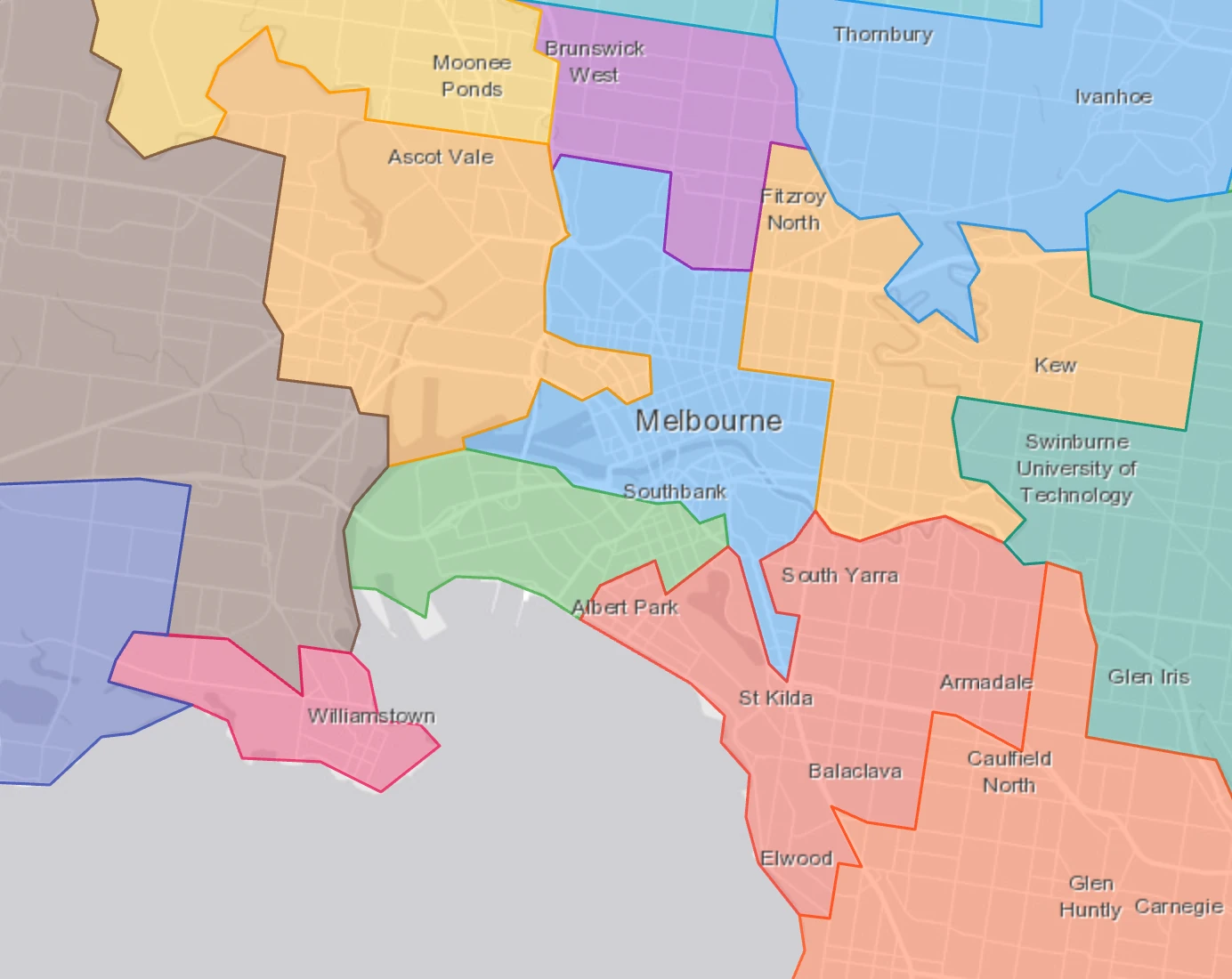
A zone that lists suburbs rather than whole postcodes shows those postcodes dashed, since only part of the postcode is in the zone.
Local or interstate?
Both, on the same map. Blink works it out from your zones' postcodes: one state reads as a local carrier, several as interstate. The badge at the top right says which ("Local · VIC", "Interstate · NSW, VIC, QLD"), and the map loads the boundaries for those states only, so it stays quick.
A postcode in two zones?
The checks above the panel tell you straight away. All clear reads "No overlapping postcodes across 28 zones". Otherwise you get a count, and Show details lists each postcode or suburb with a chip per zone it sits in: click a chip to jump to that zone and fix it.
The same strip also flags:
- a code that isn't an Australian postcode (a typo, most of the time);
- an entry that isn't a postcode or a range, like "3000-" or "Melb";
- postcodes with no boundary to draw, such as PO box codes. They still match bookings; they just have no shape on the map.
What is the rate between two zones?
Open the Rates view and choose a rate table. Then either:
- pick the Collection zone and the Delivery zone from the lists, or
- click two postcodes on the map: the first sets collection, the second sets delivery.
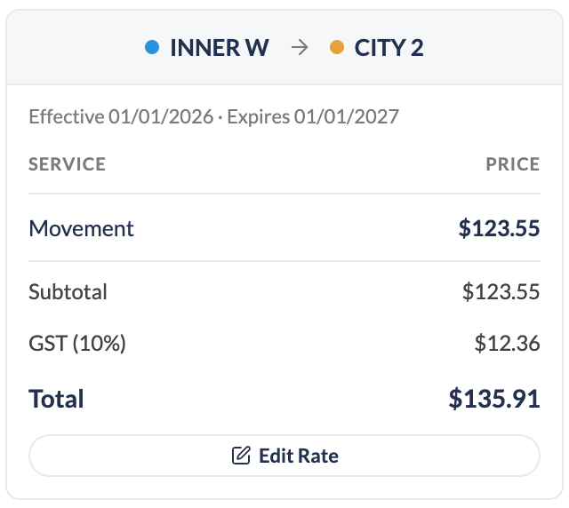
The card shows each service and its price, the subtotal, GST and the total. Swap flips the direction. If the rate is a reciprocal one (set on the reverse lane), the card says so. If there is no rate for the lane, it tells you what the reverse lane costs and offers Add Rate for this lane.
Can I edit from the map?
Yes. Everything you change here saves to the same Zones, Areas and Rates you use today.
| I want to… | Do this |
|---|---|
| Add a postcode to a zone | In the Zones view, click the postcode on the map, then Add to zone… in the card. Or New Zone to start a zone from it. |
| Take a postcode out | Click it, then Remove 3000. Suburbs of that postcode listed on the zone are kept. |
| Rename a zone or change its postcodes | Edit Zone, from the card or the pencil next to the zone in the panel. |
| Group zones into an area | Switch to the Areas view: Edit Area on a postcode's card, or + Area in the panel. |
| Add or change a rate | Add Rate at the top of the page (prefilled with the lane you picked), or Edit Rate on the rate card. |
Will my bookings use these rates?
Not yet. Today the Rating System shows and edits the rates you already keep in Blink. Pricing new bookings from these rates automatically is the next step, planned for later this year, so the zones and rates you tidy up now are the ones bookings will pull from.
Good to know: lane totals are the rate's services plus GST. A fuel levy or other surcharge set elsewhere is not added to the card. But this will come soon...
A zone looks wrong on the map?
Check the postcode list on the zone first (the checks strip usually points at the entry). If the boundary itself looks off, tell us the postcode and we will look at it.